Amina Birdi, Y13, Cotham School, reports on Dr. West’s hydrology lecture
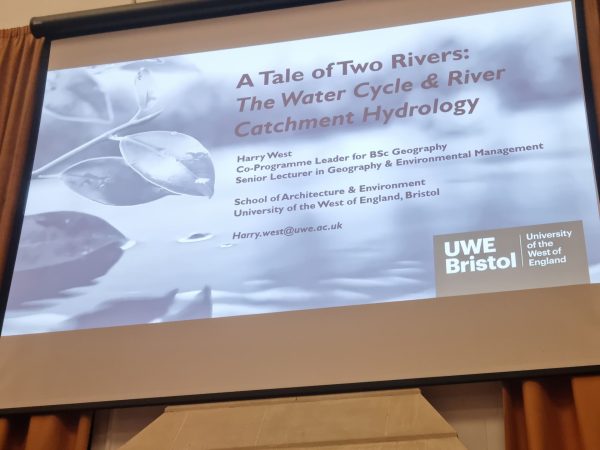
A Tale of Two Rivers: The water cycle and what affects river catchment hydrology.
Report by Amina Birdi (Y13) Cotham School.
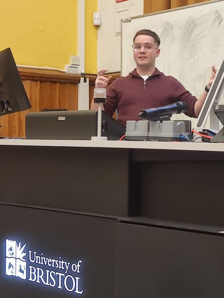
“On Tuesday 22nd November, I attended a GA talk at School of Geographical Sciences, University of Bristol by Dr Harry West (UWE).
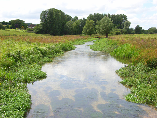
This talk explored why two neighbouring river basins, the Ock and the Lambourn in south/central England, behave so differently despite appearing almost identical at first glance. While the Ock is a “flashy” river, meaning that it is prone to variable flow and flooding, the Lambourn has a much more consistent rate of discharge. Dr. West explained how different characteristics of drainage basins including precipitation, land use and vegetation cover affect discharge, and how each can be measured, and showed that there is little variation in these three factors between both rivers. Another particularly interesting factor was topography; it would be expected that the more hilly Ock catchment would be more “flashy” than the flatter Lambourn, but in reality it is the other way around. This suggested a different deciding factor: geology. The Ock basin contains much less permeable rock than the Lambourn, which decreases the rate of infiltration and increases runoff, meaning that water drains into the main river channel much quicker, and heavy precipitation will cause a rapid increase in discharge.
As an A Level Geography student, I found this talk really helpful in understanding the topic on hydrology and applying my theoretical knowledge to a local example. The data was presented in an engaging way, making it easy to understand and also showing why geography students should care about these issues. Furthermore, this case study demonstrated the importance of considering all factors to understand the causes and impacts of natural processes.”
The slides associated with Harry’s talk can be viewed in the Resources section.
See also an interactive version of the case study as an ArcGIS Story Map with further information and links.